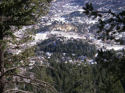
 What better way to loosen up a bad ham-string injury than a fun mountain-climb. Two weeks ago I pulled it pretty bad (pain level 9). Two days ago an MRI and yesterday I had my first physical therapy. While I was in their office Mt. Blodgett was engulfed in blizzard/ white-out conditions. By the time I walked outside, it looked like this Pic. looking out my back door.
The parking area to start the hike is at 7,000 feet elevation and the top is at 9,500 feet. The hiking distance is 2.5 miles. Do the math! That's a 20 percent grade.
On the way up you pass by this drill site where testing was done to determine suitability for an underground space monitoring site (now known as NORAD in Cheyenne Mtn. on the south side of Colorado Springs).

I was pretty exicited to see that no-one had been up the trail since the latest snow. The "Fun-Factor" went up a bit and the adventure got better.

Rock formations next to Mt. St. Francis. A cool tuberculosis sanatoriam from the 1900's. They built small hexagon shaped cabins with no windows and people from all over the country came to live in the fresh air for their cure.

The trail goes thru this "hole-in-the-rocks".

One of the routes to the top is thru the trees and up the boulder field. Going up that way feels like climbing a 14'er (nickname for the 54 14,000 foot peaks that we have in Colorado).
Today it took me 2-1/2 hours.
That's the Air Force Academy cadet area. A great place to visit. You can just make out the Chapel that's the focal point.
The grounds include 18,000 acres open to the public like a national park. Lot's of hiking trails!

Water treatment plant including the Tesla Hydroelectric facility.
The grounds include 18,000 acres open to the public like a national park. Lot's of hiking trails!

Water treatment plant including the Tesla Hydroelectric facility.
This is directly below the summit.


No comments:
Post a Comment